Another day spent mostly on the bus, but we had a lot of stops along the way. The first one being Fox Glacier, albeit we didn't actually see the glacier, we just stopped to drop off two people who were sky diving. The rest of us then drove to Lake Matheson (formed when Fox Glacier Te Moeka o Tuawe retreated) for a little walk. It's known for its excellent mirror-like reflecting properties, which are due to the dark brown colour of the water (the result of organic matter leached from the humus of the forest floor). Your best chances of the water being calm and smooth (so you get the mirror effect) are at dawn and dusk. That being said, we were not there at the right time of day to increase our chances, and it was rather windy. Despite no mirror effect it was still a beautiful spot and we got to see views of Aoraki/Mount Cook and Mount Tasman.
 |
| Mt Tasman & Mt Cook |
 |
| Lake Matheson |
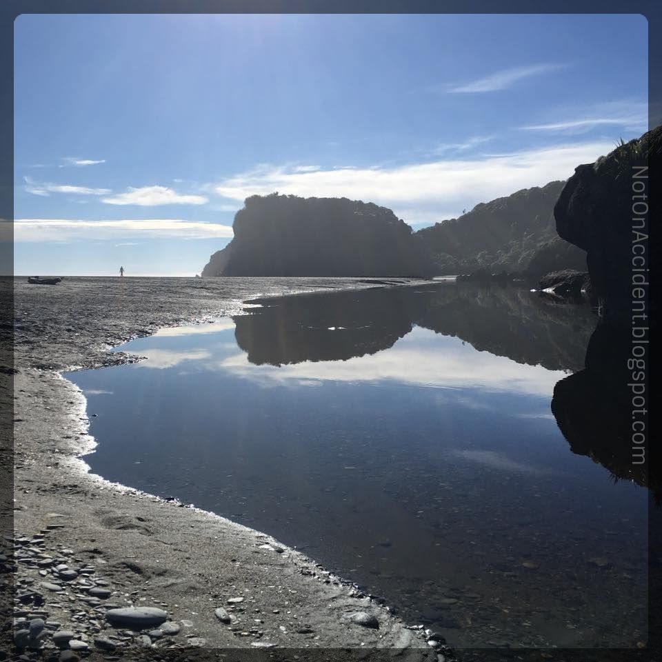
We had lunch in the town of Haast before stopping at a waterfall named Thunder Creek Falls and then a brief stop at a beach called Ship Creek. The beach is located next to an ancient kahikatea swamp forest, so that was pretty neat as well.
 |
| Some of my tour-mates at Thunder Creek Falls |
 |
| Ship Creek (the ocean is to the left) |
By mid-afternoon we had arrived at Lake Wanaka; with such a beautiful sunny day the views on the drive were great. We took a 20 minute walk along the lake front to get to the famous Lake Wanaka Tree. To be honest, it's so small it should probably be called the Lake Wanaka Bush, but regardless, it is extremely photogenic. Telli was still struggling with his timing so we did not have long to stay in town and with the walk to and from the tree taking so long I didn't get to browse through the town. I'm going to assume I didn't miss much.
 |
| Lake Wanaka |
 |
| The bush, I mean tree |
A quick photo stop at Lake Hawea, another extremely large glacier lake and were driving through the Crown Range. The summit was our last stop of the day before arriving in Queenstown, and it overlooks the Wakatipu Basin. According to Telli and a bronze plaque at the vista point, this historic summit (at 1,076 m or 3,530 ft) is the highest sealed road in New Zealand. While looking up the exact numbers on that fact I found that
Wikipedia (for what it is worth) claims that isn't true and another
website instead claims it is "the is the highest main road in New Zealand". Regardless of the road's claim-to-fame we had a nice view of the sky turning colors and the lights of Queenstown as we came down the mountain.
It was after 6pm by the time we did a quick walking tour of town. Accuweather said it was only 40F but it felt much, much colder. We contemplated getting dinner at the famous Fergburger, but the line was ridiculously long with no chance of eating inside and we were all freezing. Devil Burger was our second choice and it was a decent burger so no one complained.


No comments:
Post a Comment